RoyalCrown Surveys and Technology Ltd.
Your land,
accurately defined.
Cadastral surveys, engineering surveys and project construction management — delivered with accuracy, integrity and professionalism.
Explore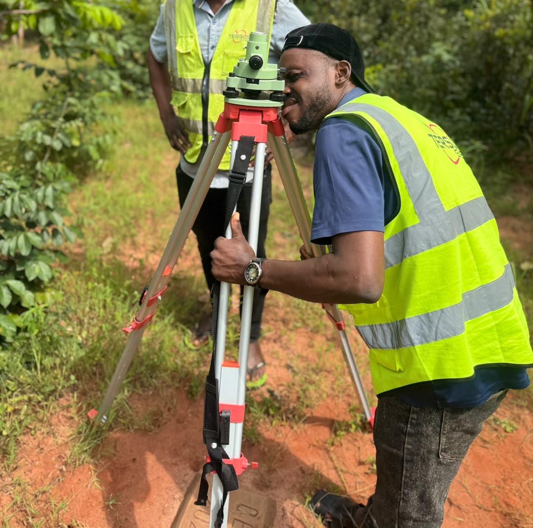
Accurate, reliable surveying that meets global best practice.
RoyalCrown Surveys and Technology was established in April 2023 out of a passion to provide accurate, reliable and professional surveying solutions that meet global best practices and the highest ethical standards of our noble profession.
More about RoyalCrownThree disciplines, one standard of accuracy.
Land you can defend
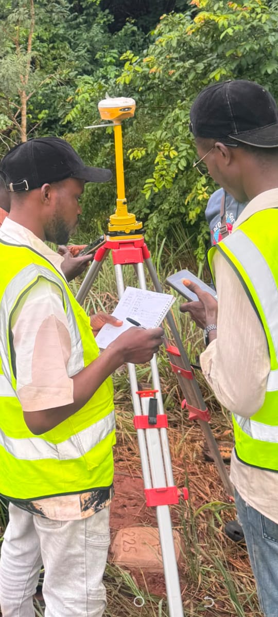
Title surveys, boundary surveys, deed plans and registration — so every parcel is accurately defined on paper and on the ground.
Data to build from
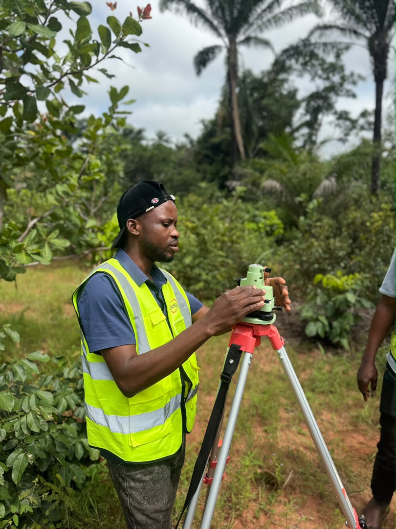
Topographic and route surveys, setting out and as-built surveys that give design and construction teams reliable ground truth.
Delivered to specification
Professional supervision and management so your project is delivered on time, within budget and to specification.
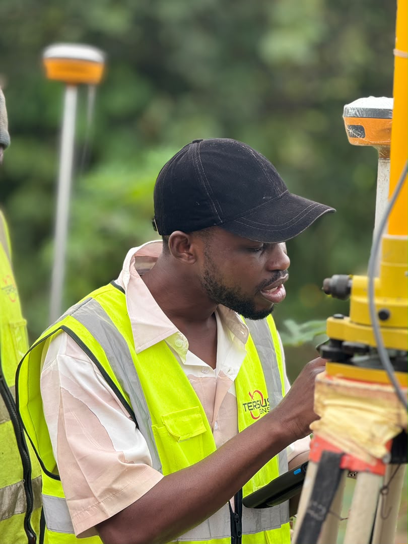
Technology plus field experience
Modern geoinformatics, precise instrumentation and years of field experience — results you can trust and defend.
Three services, one thread of accuracy.
From the boundary of a plot to the handover of a project — surveying and supervision under one roof.
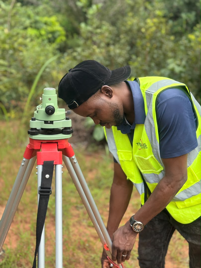
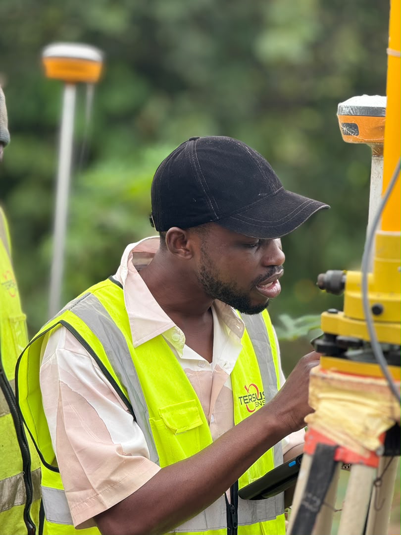
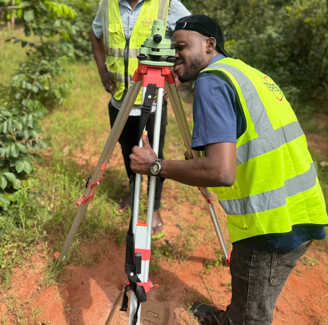
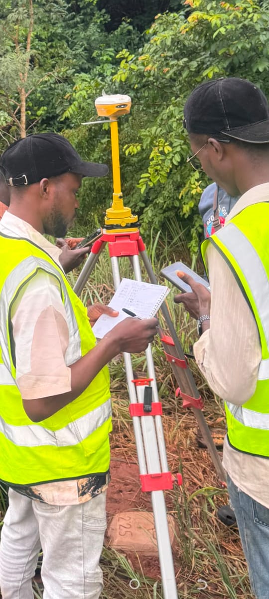
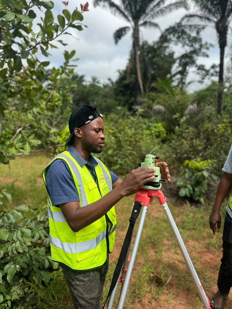
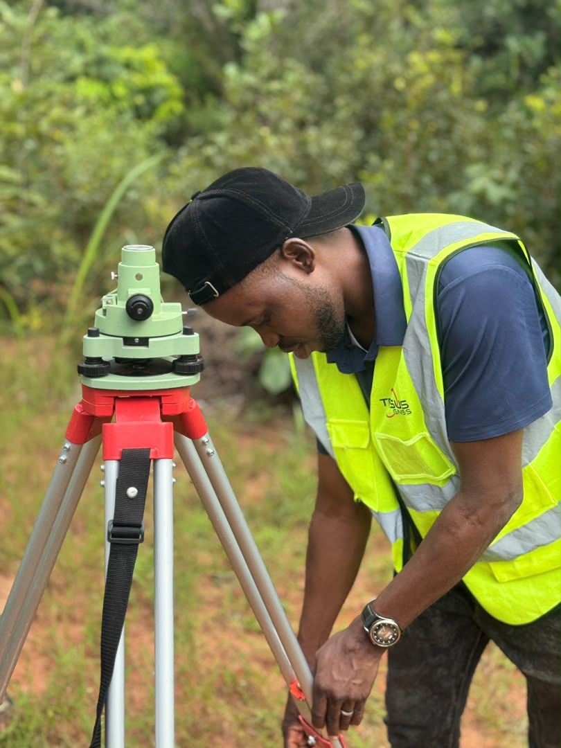
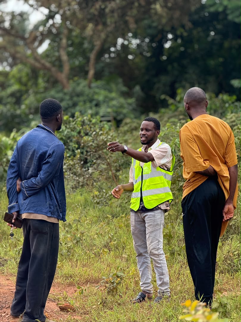
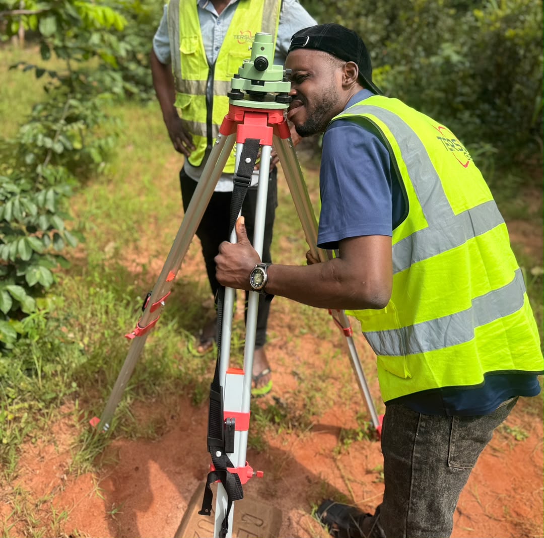
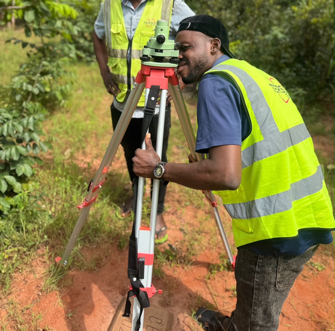
Cadastral surveys
Title surveys, boundary surveys, deed plans and registration.
Learn more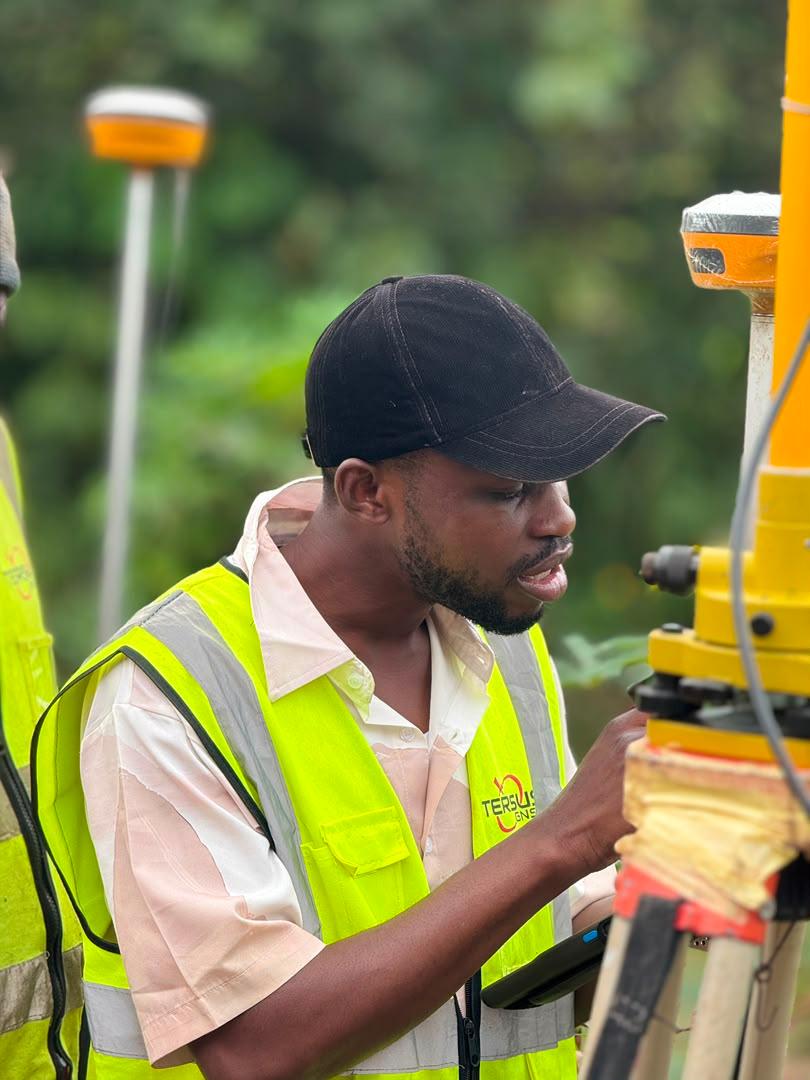
Engineering surveys
Topographic and route surveys, setting out and as-built surveys.
Learn more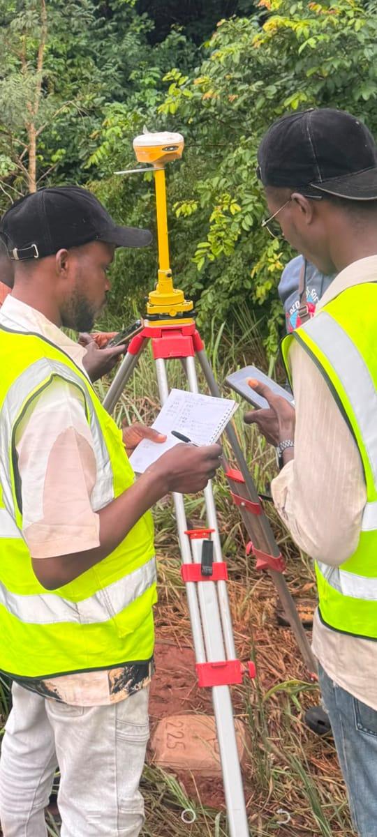
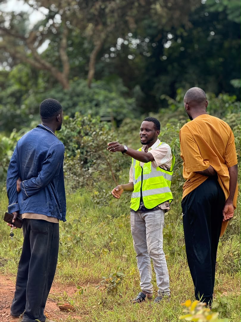
Project construction management
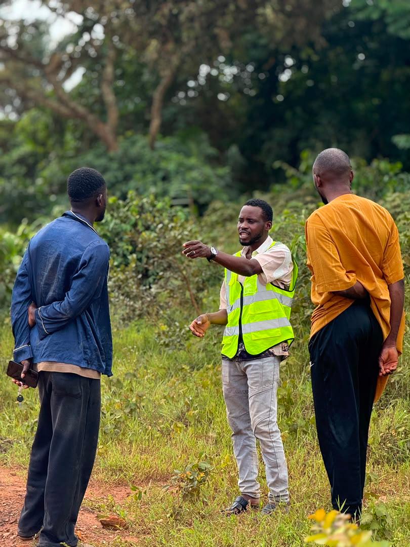
Professional supervision to deliver on time, within budget and to specification.
Learn moreAccuracy, Integrity and Professionalism.
Accuracy
Every boundary and every coordinate is defined to be defended.
Integrity
The highest ethical standards of our noble profession.
Professionalism
Registered, qualified and accountable on every job.
Technology
Modern geoinformatics and precise instrumentation.
Reliability
Results you can trust, delivered on time.
The questions we hear most often.
Have a question?
For any information, call us now — or send us your project details.